
Appearance
4. Draw a service area
When you need this: the north side is on the new well and the south side is on the old one. The east district has its own sewer. A service area is a shape on the map with a name. Every customer inside the shape counts as part of it, so reports and messages can go by area.
Steps
On the left side of the screen, click GIS Mapping, then click Service Areas.
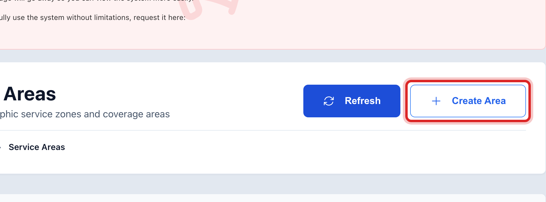
At the top right, click Create Area. A window opens.
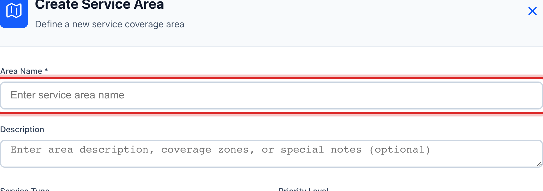
Type the Area Name, like North Side or East District.
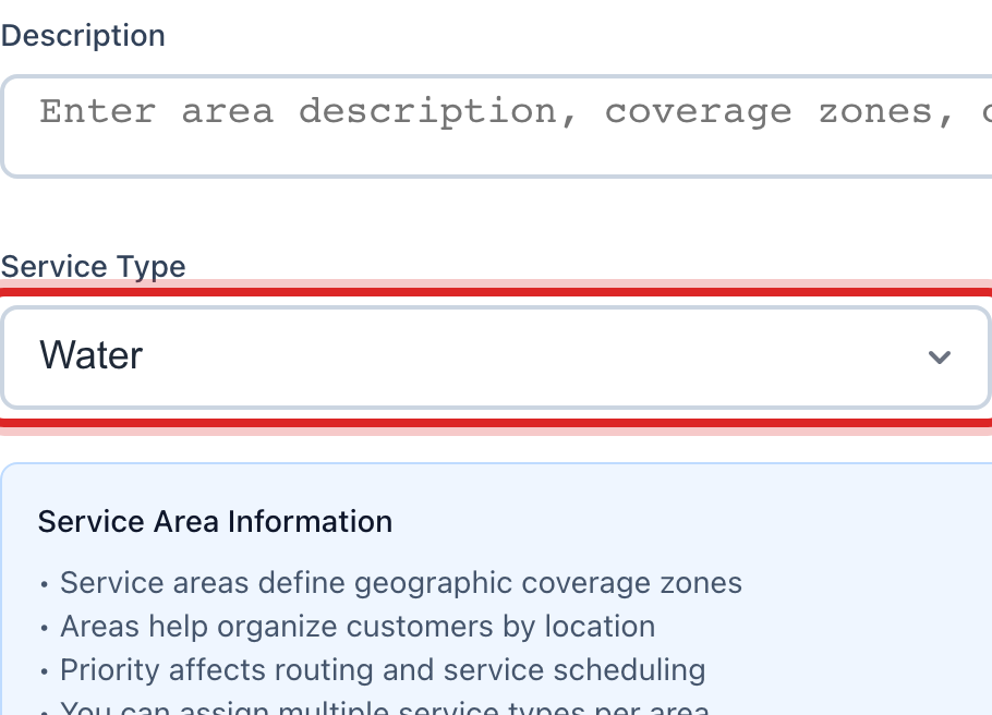
Pick the Service Type. Water for most. Sewer or Gas if the area is about that service.
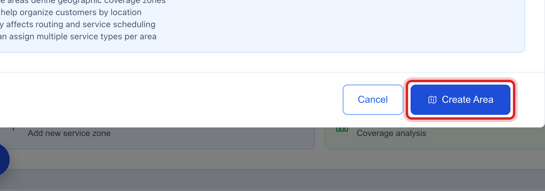
Click the blue Create Area button at the bottom of the window.
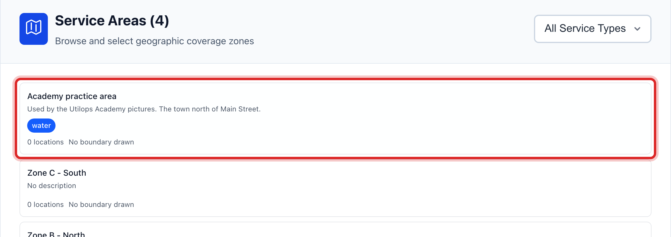
The new area is in the list on the left. Click it. Area Details opens on the right.
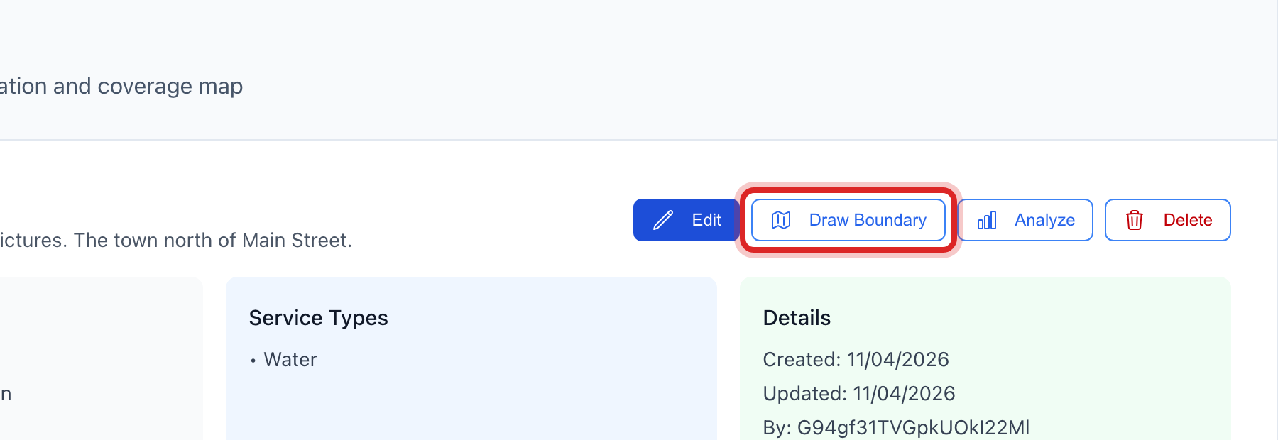
Click Draw Boundary.
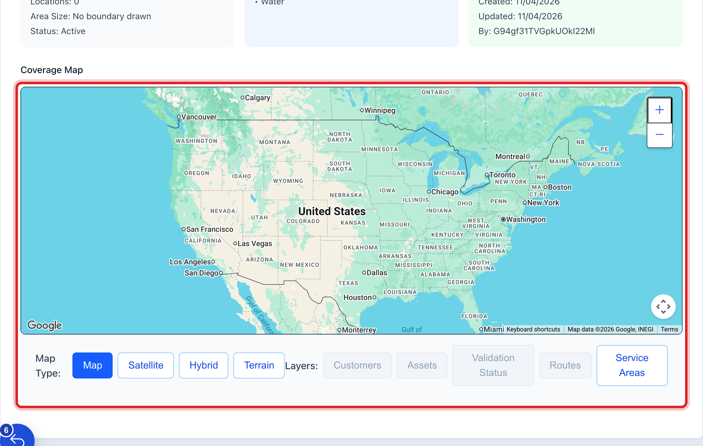
On the Coverage Map, click the corners of the area one at a time. Three points make a shape; more points follow the roads better. Drag a point to move it. Undo Point takes the last one back.
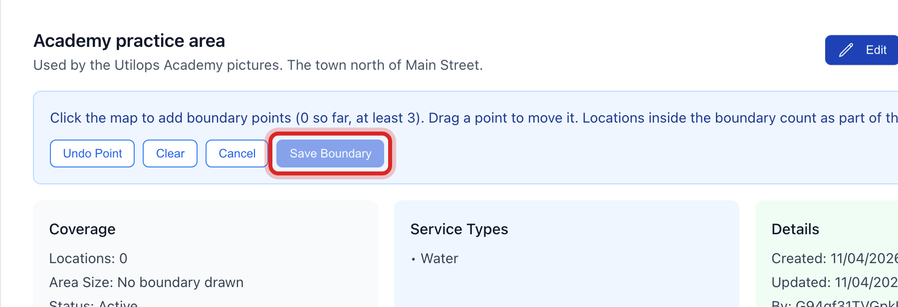
Click Save Boundary.
Made a mistake? Click Undo on the green message that appears, or open Show me how at the top and pick Undo a mistake.
You are done when
A green message says the boundary was saved. The shape is on the Coverage Map, and Coverage in Area Details counts the customers inside it.
If something looks different
Save Boundary is faded. You have fewer than three points. Click at least one more corner.
The shape is wrong. Click Edit Boundary, then Clear, and draw again. Or drag the one point that is off.
You want to change the name later. Click the area in the list, then Edit.
You do not see Create Area. Only staff who may manage maps can add areas. Ask your administrator.